 vesseltracker.com
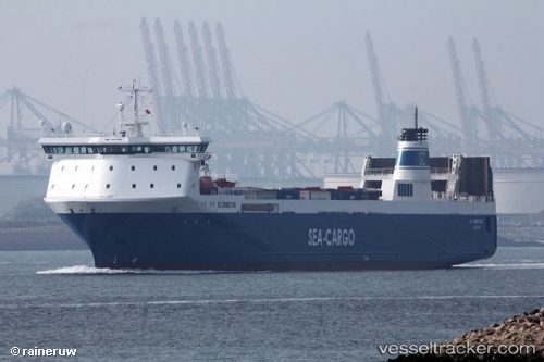
 Sc Connector
Current Status
Where is the vessel?
Sc Connector is currently in Near Kvaleberg, based on AIS data received about 1h ago.
Latest AIS update:
Current position: 59.04465° N, 5.53223° E (Near Kvaleberg)
Average speed (last 7 days): Loading…
Average speed (last 30 days): Loading…
Vessel profile: Sc Connector is a Ro Ro Cargo Ship with dimensions 154m x 23m.
This page combines live AIS, route history, probable destination signals, nearby traffic, and port activity for practical vessel monitoring.
The current position of vessel Sc Connector is 59.04465 lat / 5.53223 lng. Updated: 2026-05-15 19:54:45 UTCNearest reference points:
- Near Lura
- Near HUSOYA
- Near Storøya
Currently sailing under the flag of Malta ![]()
Sc Connector built in 1997 year
Deadweight:
8843 tDetails:
Live Vessel Sc Connector Analytics (details, animations, etc.)
Recent AIS points (UTC):
2026-05-15 16:36:21 UTC · 59.31462, 5.32321 · SOG 0 kn · COG 171°2026-05-15 17:51:22 UTC · 59.31461, 5.32321 · SOG 0 kn · COG 171°
2026-05-15 19:08:55 UTC · 59.14722, 5.36082 · SOG 11.3 kn · COG 122°
2026-05-15 19:54:45 UTC · 59.04465, 5.53223 · SOG 11.7 kn · COG 172°