 vesseltracker.com
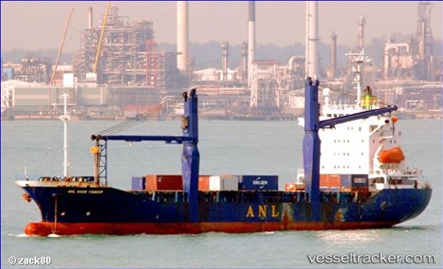
 ELLA Y
Current Status
Where is the vessel?
ELLA Y is currently in Near Ambarli, based on AIS data received about 1h ago.
Latest AIS update:
Current position: 40.93432° N, 28.65562° E (Near Ambarli)
Average speed (last 7 days): Loading…
Average speed (last 30 days): Loading…
Vessel profile: ELLA Y is a Cargo with dimensions m x m.
This page combines live AIS, route history, probable destination signals, nearby traffic, and port activity for practical vessel monitoring.
The current position of vessel ELLA Y is 40.93432 lat / 28.65562 lng. Updated: 2026-04-08 20:11:23 UTCNearest reference points:
- Near Ambarli
- Near Küçükçekmece
- Near Gürpinar
Currently sailing under the flag of Palau ![]()
ELLA Y built in 1996 year
Deadweight:
11321 tDetails:
Live Vessel ELLA Y Analytics (details, animations, etc.)
Recent AIS points (UTC):
2026-04-08 13:57:46 UTC · 40.72170, 27.63768 · SOG 9 kn · COG 78°2026-04-08 15:45:47 UTC · 40.76158, 27.99341 · SOG 9.3 kn · COG 82°
2026-04-08 17:46:06 UTC · 40.81955, 28.41569 · SOG 9.8 kn · COG 82°
2026-04-08 20:11:23 UTC · 40.93432, 28.65562 · SOG 0.2 kn · COG 119°