 vesseltracker.com
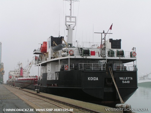
 Hilamaya
Current Status
Where is the vessel?
Hilamaya is currently in Near Kerch, based on AIS data received about 1d ago.
Latest AIS update:
Current position: 45.31111° N, 36.50633° E (Near Kerch)
Average speed (last 7 days): Loading…
Average speed (last 30 days): Loading…
Vessel profile: Hilamaya is a Multi Purpose Carrier with dimensions 140m x 140m.
This page combines live AIS, route history, probable destination signals, nearby traffic, and port activity for practical vessel monitoring.
The current position of vessel Hilamaya is 45.31111 lat / 36.50633 lng. Updated: 2026-03-28 09:59:13 UTCNearest reference points:
- Near Kerch
- Near KOMYSH BURUNSKA
- 11 nm SW of Taman'
Currently sailing under the flag of Russia ![]()
Hilamaya built in 1995 year
Deadweight:
6226 tDetails:
Live Vessel Hilamaya Analytics (details, animations, etc.)
Recent AIS points (UTC):
2026-03-28 09:59:13 UTC · 45.31111, 36.50633 · SOG 47.2 kn · COG -1°2026-03-28 09:59:13 UTC · 45.31111, 36.50633 · SOG 47.2 kn · COG -1°
2026-03-28 09:59:13 UTC · 45.31111, 36.50633 · SOG 47.2 kn · COG -1°
2026-03-28 09:59:13 UTC · 45.31111, 36.50633 · SOG 47.2 kn · COG -1°