 vesseltracker.com
Oel Shasta
Current StatusWhere is the vessel?
Oel Shasta is currently in Near Pok Fu Lam, based on AIS data received less than 1h ago.
Latest AIS update:
Current position: 22.17263° N, 114.11275° E (Near Pok Fu Lam)
Average speed (last 7 days): Loading…
Average speed (last 30 days): Loading…
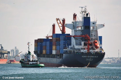
Vessel profile: Oel Shasta is a Container Ship with dimensions 26m x 179m.
This page combines live AIS, route history, probable destination signals, nearby traffic, and port activity for practical vessel monitoring.
The current position of vessel Oel Shasta is 22.17263 lat / 114.11275 lng. Updated: 2026-05-14 20:15:38 UTCNearest reference points:
- Near Pok Fu Lam
- Near WAILINGDING ISLAND
- Near Tai Tam
Details:
Live Vessel Oel Shasta Analytics (details, animations, etc.)
Recent AIS points (UTC):
2026-05-14 16:57:39 UTC · 22.17156, 114.11612 · SOG 0 kn · COG 302°2026-05-14 18:12:37 UTC · 22.17165, 114.11584 · SOG 0.1 kn · COG 297°
2026-05-14 19:15:41 UTC · 22.17184, 114.11533 · SOG 0.1 kn · COG 312°
2026-05-14 20:15:38 UTC · 22.17263, 114.11275 · SOG 0.1 kn · COG 99°