 vesseltracker.com
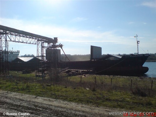
Nardis
Current StatusWhere is the vessel?
Nardis is currently in Near Aktau, based on AIS data received about 1h ago.
Latest AIS update:
Current position: 43.56287° N, 51.18442° E (Near Aktau)
Average speed (last 7 days): Loading…
Average speed (last 30 days): Loading…
Vessel profile: Nardis is a Multi Purpose Carrier with dimensions 16m x 98m.
This page combines live AIS, route history, probable destination signals, nearby traffic, and port activity for practical vessel monitoring.
The current position of vessel Nardis is 43.56287 lat / 51.18442 lng. Updated: 2026-05-14 14:08:39 UTCNearest reference points:
- 12 nm S of Aktau
- 24 nm W of Kuryk
- 35 nm W of Kuryk
Details:
Live Vessel Nardis Analytics (details, animations, etc.)
Recent AIS points (UTC):
2026-05-14 10:50:26 UTC · 43.56251, 51.18441 · SOG 0 kn · COG 275°2026-05-14 11:30:30 UTC · 43.56247, 51.18441 · SOG 0 kn · COG 278°
2026-05-14 13:56:29 UTC · 43.56285, 51.18441 · SOG 0 kn · COG 253°
2026-05-14 14:08:39 UTC · 43.56287, 51.18442 · SOG 0 kn · COG 253°