 vesseltracker.com
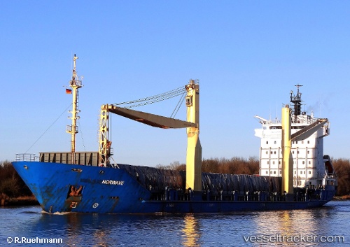
Tanto Damai
Current StatusWhere is the vessel?
Tanto Damai is currently in Near Madura Terminal, based on AIS data received less than 1h ago.
Latest AIS update:
Current position: 6.88953° S, 112.81072° E (Near Madura Terminal)
Average speed (last 7 days): Loading…
Average speed (last 30 days): Loading…
Vessel profile: Tanto Damai is a Container Ship with dimensions 21m x 127m.
This page combines live AIS, route history, probable destination signals, nearby traffic, and port activity for practical vessel monitoring.
The current position of vessel Tanto Damai is -6.88953 lat / 112.81072 lng. Updated: 2026-04-30 19:57:01 UTCNearest reference points:
- 11 nm W of Madura Terminal
- Near Bangkalan
- 10 nm W of Poleng
Details:
Live Vessel Tanto Damai Analytics (details, animations, etc.)
Recent AIS points (UTC):
2026-04-30 16:11:58 UTC · -6.88835, 112.80973 · SOG 0 kn · COG 197°2026-04-30 17:35:20 UTC · -6.88833, 112.80833 · SOG 0 kn · COG -1°
2026-04-30 19:27:01 UTC · -6.88990, 112.81045 · SOG 0.1 kn · COG 289°
2026-04-30 19:57:01 UTC · -6.88953, 112.81072 · SOG 0.1 kn · COG 267°