 vesseltracker.com
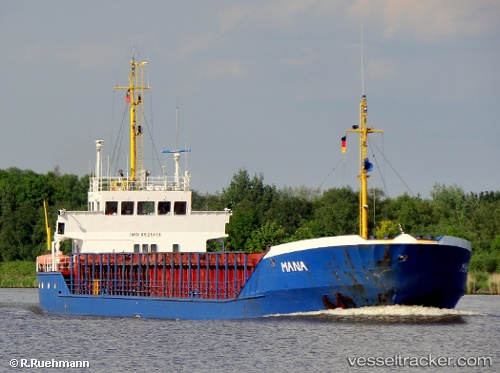
 YUSUF BEY
Current Status
Where is the vessel?
YUSUF BEY is currently in Near Ferrol, based on AIS data received less than 1h ago.
Latest AIS update:
Current position: 43.47924° N, 8.25370° W (Near Ferrol)
Average speed (last 7 days): Loading…
Average speed (last 30 days): Loading…
Vessel profile: YUSUF BEY is a General Cargo with dimensions m x m.
This page combines live AIS, route history, probable destination signals, nearby traffic, and port activity for practical vessel monitoring.
The current position of vessel YUSUF BEY is 43.47924 lat / -8.25370 lng. Updated: 2026-05-15 03:47:38 UTCNearest reference points:
- Near Ferrol
- Near Milladoiro
- Near La Coruna
Currently sailing under the flag of Saint Kitts and Nevis ![]()
Details:
Live Vessel YUSUF BEY Analytics (details, animations, etc.)
Recent AIS points (UTC):
2026-05-14 22:56:36 UTC · 43.47924, -8.25370 · SOG 0 kn · COG 260°2026-05-14 23:47:36 UTC · 43.47923, -8.25371 · SOG 0 kn · COG 261°
2026-05-15 01:12:47 UTC · 43.47833, -8.25333 · SOG 0 kn · COG -1°
2026-05-15 03:47:38 UTC · 43.47924, -8.25370 · SOG 0 kn · COG 261°