 vesseltracker.com
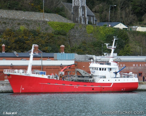
Viking Viknes
Current StatusWhere is the vessel?
Viking Viknes is currently in Near MALLAIG, based on AIS data received less than 1h ago.
Latest AIS update:
Current position: 57.00623° N, 5.82548° W (Near MALLAIG)
Average speed (last 7 days): Loading…
Average speed (last 30 days): Loading…
Vessel profile: Viking Viknes is a Fish Carrier with dimensions 8m x 37m.
This page combines live AIS, route history, probable destination signals, nearby traffic, and port activity for practical vessel monitoring.
The current position of vessel Viking Viknes is 57.00623 lat / -5.82548 lng. Updated: 2026-05-15 03:45:51 UTCNearest reference points:
- Near KYLE OF LOCHALSH
- Near Fishnish, Isle of Mull
- Near CRAIGNURE PIER
Details:
Live Vessel Viking Viknes Analytics (details, animations, etc.)
Recent AIS points (UTC):
2026-05-14 22:58:54 UTC · 57.00623, -5.82548 · SOG 0 kn · COG 190°2026-05-14 23:49:21 UTC · 57.00622, -5.82546 · SOG 0 kn · COG 190°
2026-05-15 01:12:20 UTC · 57.00623, -5.82547 · SOG 0 kn · COG 191°
2026-05-15 03:45:51 UTC · 57.00623, -5.82548 · SOG 0 kn · COG 190°