 vesseltracker.com
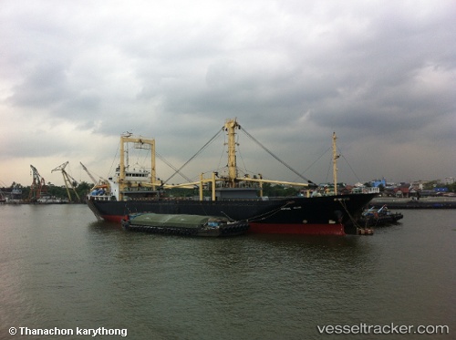
Fortune Island
Current StatusWhere is the vessel?
Fortune Island is currently in Near GRESIK, based on AIS data received less than 1h ago.
Latest AIS update:
Current position: 7.10771° S, 112.66279° E (Near GRESIK)
Average speed (last 7 days): Loading…
Average speed (last 30 days): Loading…
Vessel profile: Fortune Island is a General Cargo Ship with dimensions 18m x 96m.
This page combines live AIS, route history, probable destination signals, nearby traffic, and port activity for practical vessel monitoring.
The current position of vessel Fortune Island is -7.10771 lat / 112.66279 lng. Updated: 2026-05-15 11:34:19 UTCNearest reference points:
- Near GRESIK
- Near Gresik, Java
- Near Bangkalan
Details:
Live Vessel Fortune Island Analytics (details, animations, etc.)
Recent AIS points (UTC):
2026-05-15 08:22:20 UTC · -7.10777, 112.66266 · SOG 0 kn · COG 354°2026-05-15 10:22:20 UTC · -7.10773, 112.66276 · SOG 0 kn · COG 358°
2026-05-15 10:58:22 UTC · -7.10774, 112.66264 · SOG 0 kn · COG 2°
2026-05-15 11:34:19 UTC · -7.10771, 112.66279 · SOG 0.1 kn · COG 3°