 vesseltracker.com
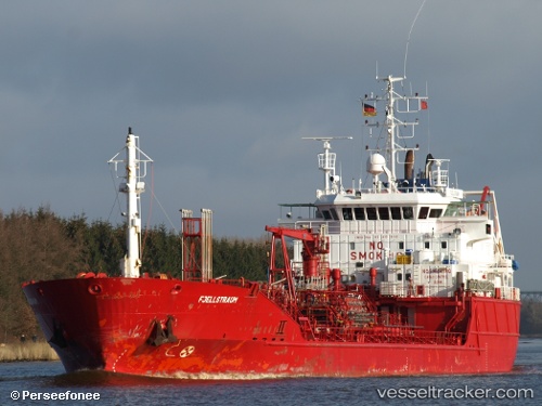
 GUARANA
Current Status
Where is the vessel?
GUARANA is currently in 23 nm SW of Capelo, based on AIS data received less than 1h ago.
Latest AIS update:
Current position: 38.37705° N, 29.19088° W (23 nm SW of Capelo)
Average speed (last 7 days): Loading…
Average speed (last 30 days): Loading…
Vessel profile: GUARANA is a Oil/Chemical Tanker with dimensions m x m.
This page combines live AIS, route history, probable destination signals, nearby traffic, and port activity for practical vessel monitoring.
The current position of vessel GUARANA is 38.37705 lat / -29.19088 lng. Updated: 2026-05-13 18:09:14 UTCNearest reference points:
- Near Praia Da Vitoria
Currently sailing under the flag of Malta ![]()
Details:
Live Vessel GUARANA Analytics (details, animations, etc.)
Recent AIS points (UTC):
2026-05-13 14:12:01 UTC · 38.35006, -29.81086 · SOG 6.5 kn · COG -1°2026-05-13 16:17:55 UTC · 38.34827, -29.49263 · SOG 6.8 kn · COG -1°
2026-05-13 17:08:22 UTC · 38.35334, -29.36447 · SOG 9.4 kn · COG -1°
2026-05-13 18:09:14 UTC · 38.37705, -29.19088 · SOG 8.8 kn · COG -1°