 vesseltracker.com
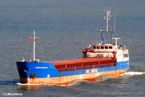
 Valday
Current Status
Where is the vessel?
Valday is currently in Near Gdynia, based on AIS data received about 1h ago.
Latest AIS update:
Current position: 54.52427° N, 18.62790° E (Near Gdynia)
Average speed (last 7 days): Loading…
Average speed (last 30 days): Loading…
Vessel profile: Valday is a General Cargo Ship with dimensions 82m x 11m.
This page combines live AIS, route history, probable destination signals, nearby traffic, and port activity for practical vessel monitoring.
The current position of vessel Valday is 54.52427 lat / 18.62790 lng. Updated: 2026-04-27 11:47:00 UTCNearest reference points:
- Near Sopot
- Near Gdynia
- Near Nowy Port/Gdansk
Currently sailing under the flag of Antigua Barbuda ![]()
Valday built in 1996 year
Deadweight:
2503 tDetails:
Live Vessel Valday Analytics (details, animations, etc.)
Recent AIS points (UTC):
2026-04-27 08:13:59 UTC · 54.52431, 18.62850 · SOG 0 kn · COG 20°2026-04-27 10:14:00 UTC · 54.52430, 18.62881 · SOG 0.2 kn · COG 7°
2026-04-27 10:23:00 UTC · 54.52432, 18.62830 · SOG 0.2 kn · COG 7°
2026-04-27 11:47:00 UTC · 54.52427, 18.62790 · SOG 0.2 kn · COG 33°