 vesseltracker.com
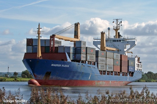
 Barbara P
Current Status
Where is the vessel?
Barbara P is currently in 34 nm S of Fuengirola, based on AIS data received about 1h ago.
Latest AIS update:
Current position: 35.98407° N, 4.48120° W (34 nm S of Fuengirola)
Average speed (last 7 days): Loading…
Average speed (last 30 days): Loading…
Vessel profile: Barbara P is a Container Ship with dimensions 139m x 24m.
This page combines live AIS, route history, probable destination signals, nearby traffic, and port activity for practical vessel monitoring.
The current position of vessel Barbara P is 35.98407 lat / -4.48120 lng. Updated: 2026-05-14 16:34:59 UTCNearest reference points:
- 30 nm E of Ceuta
- 31 nm SE of Fuengirola
- Near Fuengirola
Currently sailing under the flag of Portugal ![]()
Barbara P built in 1997 year
Deadweight:
12950 tDetails:
Live Vessel Barbara P Analytics (details, animations, etc.)
Recent AIS points (UTC):
2026-05-14 13:40:10 UTC · 35.97921, -4.67738 · SOG 2.9 kn · COG 195°2026-05-14 14:06:50 UTC · 35.98055, -4.64945 · SOG 3 kn · COG 193°
2026-05-14 15:41:59 UTC · 35.98388, -4.54312 · SOG 3.2 kn · COG 195°
2026-05-14 16:34:59 UTC · 35.98407, -4.48120 · SOG 3.5 kn · COG 190°