 vesseltracker.com
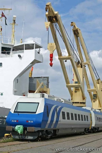
Grietje
Current StatusWhere is the vessel?
Grietje is currently in Near Dalian, based on AIS data received less than 1h ago.
Latest AIS update:
Current position: 39.01228° N, 121.68981° E (Near Dalian)
Average speed (last 7 days): Loading…
Average speed (last 30 days): Loading…
Vessel profile: Grietje is a Heavy Load Carrier with dimensions 22m x 152m.
This page combines live AIS, route history, probable destination signals, nearby traffic, and port activity for practical vessel monitoring.
The current position of vessel Grietje is 39.01228 lat / 121.68981 lng. Updated: 2026-05-13 21:23:40 UTCNearest reference points:
- Near Dalian
- 15 nm E of Dalian
- 15 nm SE of Dalian
Details:
Live Vessel Grietje Analytics (details, animations, etc.)
Recent AIS points (UTC):
2026-05-13 17:41:10 UTC · 39.01233, 121.68984 · SOG 0 kn · COG -1°2026-05-13 19:34:51 UTC · 39.01234, 121.68990 · SOG 0 kn · COG -1°
2026-05-13 19:59:51 UTC · 39.01232, 121.68985 · SOG 0 kn · COG -1°
2026-05-13 21:23:40 UTC · 39.01228, 121.68981 · SOG 0 kn · COG -1°