 vesseltracker.com
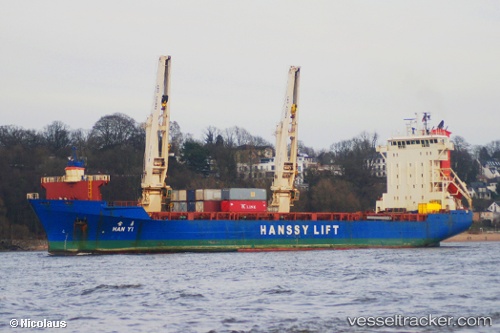
Han Yi
Current StatusWhere is the vessel?
Han Yi is currently in 11 nm W of JINHAI HEAVY INDUSTR, based on AIS data received less than 1h ago.
Latest AIS update:
Current position: 30.19702° N, 122.05557° E (11 nm W of JINHAI HEAVY INDUSTR)
Average speed (last 7 days): Loading…
Average speed (last 30 days): Loading…
Vessel profile: Han Yi is a General Cargo Ship with dimensions 22m x 138m.
This page combines live AIS, route history, probable destination signals, nearby traffic, and port activity for practical vessel monitoring.
The current position of vessel Han Yi is 30.19702 lat / 122.05557 lng. Updated: 2026-05-14 15:46:12 UTCNearest reference points:
- 11 nm N of Majistan/Zhoushan
- Near Majistan/Zhoushan
- Near JINHAI HEAVY INDUSTR
Details:
Live Vessel Han Yi Analytics (details, animations, etc.)
Recent AIS points (UTC):
2026-05-14 11:58:11 UTC · 30.19695, 122.05556 · SOG 0 kn · COG 115°2026-05-14 13:13:10 UTC · 30.19697, 122.05558 · SOG 0 kn · COG 115°
2026-05-14 14:02:10 UTC · 30.19667, 122.05500 · SOG 0 kn · COG -1°
2026-05-14 15:46:12 UTC · 30.19702, 122.05557 · SOG 0 kn · COG 115°