 vesseltracker.com
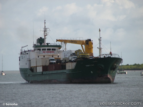
 TS INDIAN OCEAN
Current Status
Where is the vessel?
TS INDIAN OCEAN is currently in 114 nm E of Nosy-Be, based on AIS data received less than 1h ago.
Latest AIS update:
Current position: 13.71500° S, 50.16333° E (114 nm E of Nosy-Be)
Average speed (last 7 days): Loading…
Average speed (last 30 days): Loading…
Vessel profile: TS INDIAN OCEAN is a Passenger/Cargo Ship with dimensions m x m.
This page combines live AIS, route history, probable destination signals, nearby traffic, and port activity for practical vessel monitoring.
The current position of vessel TS INDIAN OCEAN is -13.71500 lat / 50.16333 lng. Updated: 2026-05-18 08:08:03 UTCNearest reference points:
- 103 nm E of Nosy-Be
- 14 nm SW of Nosy-Be
- 243 nm E of Nosy-Be
Currently sailing under the flag of Panama ![]()
Details:
Live Vessel TS INDIAN OCEAN Analytics (details, animations, etc.)
Recent AIS points (UTC):
2026-05-18 04:56:11 UTC · -13.41711, 50.06582 · SOG 6.4 kn · COG 163°2026-05-18 06:01:42 UTC · -13.52667, 50.10167 · SOG 6 kn · COG -1°
2026-05-18 07:07:56 UTC · -13.62667, 50.13500 · SOG 6 kn · COG -1°
2026-05-18 08:08:03 UTC · -13.71500, 50.16333 · SOG 5 kn · COG -1°