 vesseltracker.com
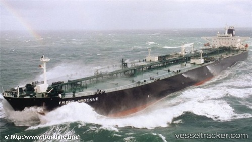
Ocean Ruby
Current StatusWhere is the vessel?
Ocean Ruby is currently in 91 nm SW of Al Muajjiz, based on AIS data received about 390d ago.
Latest AIS update:
Current position: 22.48184° N, 37.14200° E (91 nm SW of Al Muajjiz)
Average speed (last 7 days): Loading…
Average speed (last 30 days): Loading…
Vessel profile: Ocean Ruby is a Crude Oil Tanker with dimensions 46m x 269m.
This page combines live AIS, route history, probable destination signals, nearby traffic, and port activity for practical vessel monitoring.
The current position of vessel Ocean Ruby is 22.48184 lat / 37.14200 lng. Updated: 2025-04-18 10:50:30 UTCNearest reference points:
- 95 nm SW of Al Muajjiz
- 65 nm SW of King Abdullah City
- 74 nm SW of Yanbu
Details:
Live Vessel Ocean Ruby Analytics (details, animations, etc.)
Recent AIS points (UTC):
2025-04-18 10:50:30 UTC · 22.48184, 37.14200 · SOG 4.8 kn · COG 338°