 vesseltracker.com
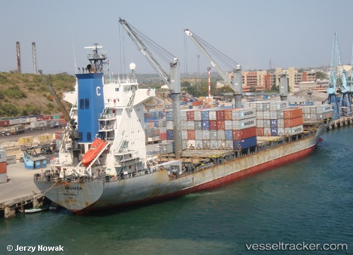
Vessel Vento Di Levante IMO: 9152923, MMSI: 636018081 Container Ship
UTC, 35.71667, -9.23167, course: -1, speed: 12
UTC, 36.05333, -9.61833, course: -1, speed: 12
2026-03-19 09:31:33 UTC, 36.35430, -9.95755, course: -1, speed: 12.6
Live Vessel Vento Di Levante Analytics (details, animations, etc.)
Live AIS position: UTC. 63 nm SW of Sagres), updated 2026-03-19 09:31:33 UTC.Find the position of the vessel Vento Di Levante on the map. The latter are known coordinates and path.
marine traffic ship tracker show on live map
The current position of vessel Vento Di Levante is 36.35430 lat / -9.95755 lng. Updated: 2026-03-19 09:31:33 UTCCurrently sailing under the flag of Liberia
Vento Di Levante built in 1998 year
Deadweight:
22330 tDetails:
Last coordinates of the vessel:
UTC, 35.48833, -8.97500, course: -1, speed: 12UTC, 35.71667, -9.23167, course: -1, speed: 12
UTC, 36.05333, -9.61833, course: -1, speed: 12
2026-03-19 09:31:33 UTC, 36.35430, -9.95755, course: -1, speed: 12.6