 vesseltracker.com
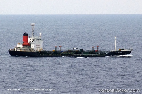
 Sunny Power
Current Status
Where is the vessel?
Sunny Power is currently in Near YUNG AN, based on AIS data received less than 1h ago.
Latest AIS update:
Current position: 22.73122° N, 120.15652° E (Near YUNG AN)
Average speed (last 7 days): Loading…
Average speed (last 30 days): Loading…
Vessel profile: Sunny Power is a Chemical Oil Products Tanker with dimensions 105m x 17m.
This page combines live AIS, route history, probable destination signals, nearby traffic, and port activity for practical vessel monitoring.
The current position of vessel Sunny Power is 22.73122 lat / 120.15652 lng. Updated: 2026-05-14 10:57:12 UTCNearest reference points:
- Near Tso-Ying
- Near YUNG AN
- Near Kao-Hsiung Kang
Currently sailing under the flag of Sierra Leone ![]()
Sunny Power built in 1997 year
Deadweight:
4999 tDetails:
Live Vessel Sunny Power Analytics (details, animations, etc.)
Recent AIS points (UTC):
2026-05-14 07:30:04 UTC · 22.73386, 120.15859 · SOG 0 kn · COG 214°2026-05-14 07:48:04 UTC · 22.73376, 120.15871 · SOG 0 kn · COG 221°
2026-05-14 10:27:13 UTC · 22.73120, 120.15653 · SOG 0 kn · COG 62°
2026-05-14 10:57:12 UTC · 22.73122, 120.15652 · SOG 0.4 kn · COG 60°