 vesseltracker.com
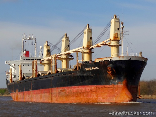
Best Will
Current StatusWhere is the vessel?
Best Will is currently in Near Semarang, based on AIS data received about 1h ago.
Latest AIS update:
Current position: 6.85167° S, 110.38500° E (Near Semarang)
Average speed (last 7 days): Loading…
Average speed (last 30 days): Loading…
Vessel profile: Best Will is a Bulk Carrier with dimensions 26m x 154m.
This page combines live AIS, route history, probable destination signals, nearby traffic, and port activity for practical vessel monitoring.
The current position of vessel Best Will is -6.85167 lat / 110.38500 lng. Updated: 2026-05-15 04:29:15 UTCNearest reference points:
- Near Batang
- 26 nm N of Pemalang
- 49 nm NE of TANJUNG JATI
Details:
Live Vessel Best Will Analytics (details, animations, etc.)
Recent AIS points (UTC):
2026-05-14 22:28:12 UTC · -6.85071, 110.38557 · SOG 0 kn · COG -1°2026-05-14 23:41:13 UTC · -6.85167, 110.38500 · SOG 0 kn · COG -1°
2026-05-15 04:14:15 UTC · -6.85167, 110.38500 · SOG 0 kn · COG -1°
2026-05-15 04:29:15 UTC · -6.85167, 110.38500 · SOG 0 kn · COG -1°