 vesseltracker.com
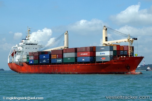
Hijau Sejuk
Current StatusWhere is the vessel?
Hijau Sejuk is currently in 46 nm NW of Arjasa, based on AIS data received less than 1h ago.
Latest AIS update:
Current position: 6.43698° S, 114.61716° E (46 nm NW of Arjasa)
Average speed (last 7 days): Loading…
Average speed (last 30 days): Loading…
Vessel profile: Hijau Sejuk is a Container Ship with dimensions 23m x 130m.
This page combines live AIS, route history, probable destination signals, nearby traffic, and port activity for practical vessel monitoring.
The current position of vessel Hijau Sejuk is -6.43698 lat / 114.61716 lng. Updated: 2026-05-01 21:52:19 UTCNearest reference points:
- 34 nm N of Arjasa
- 76 nm N of Sumenep
- 30 nm NW of Sumenep
Details:
Live Vessel Hijau Sejuk Analytics (details, animations, etc.)
Recent AIS points (UTC):
2026-05-01 17:09:10 UTC · -6.75027, 113.69594 · SOG 12 kn · COG -1°2026-05-01 17:53:51 UTC · -6.73496, 113.84101 · SOG 12.4 kn · COG -1°
2026-05-01 17:53:51 UTC · -6.73496, 113.84101 · SOG 12.4 kn · COG -1°
2026-05-01 21:52:19 UTC · -6.43698, 114.61716 · SOG 12.6 kn · COG -1°