 vesseltracker.com
 SKY TIME
Current Status
Where is the vessel?
SKY TIME is currently in Near Kiziltoprak, based on AIS data received about 1h ago.
Latest AIS update:
Current position: 40.96436° N, 28.99030° E (Near Kiziltoprak)
Average speed (last 7 days): Loading…
Average speed (last 30 days): Loading…
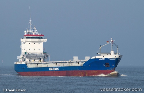
Vessel profile: SKY TIME is a General Cargo Ship with dimensions 112m x 14m.
This page combines live AIS, route history, probable destination signals, nearby traffic, and port activity for practical vessel monitoring.
The current position of vessel SKY TIME is 40.96436 lat / 28.99030 lng. Updated: 2026-04-18 06:14:40 UTCNearest reference points:
- Near Kiziltoprak
- Near Davutpasa
- Near Mardas
Currently sailing under the flag of Panama ![]()
SKY TIME built in 1998 year
Deadweight:
6324 tDetails:
Live Vessel SKY TIME Analytics (details, animations, etc.)
Recent AIS points (UTC):
2026-04-17 23:56:30 UTC · 40.73428, 28.94931 · SOG 0.8 kn · COG 316°2026-04-18 01:49:31 UTC · 40.70484, 28.94219 · SOG 0.9 kn · COG 312°
2026-04-18 04:01:09 UTC · 40.73804, 28.93705 · SOG 7.1 kn · COG 357°
2026-04-18 06:14:40 UTC · 40.96436, 28.99030 · SOG 5.6 kn · COG 16°