 vesseltracker.com
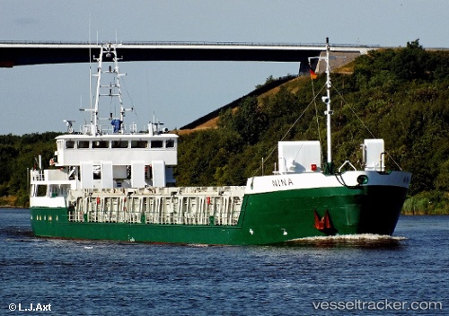
 WILSON ONEGA
Current Status
Where is the vessel?
WILSON ONEGA is currently in 11 nm SW of Fedje, based on AIS data received less than 1h ago.
Latest AIS update:
Current position: 60.68747° N, 4.36841° E (11 nm SW of Fedje)
Average speed (last 7 days): Loading…
Average speed (last 30 days): Loading…
Vessel profile: WILSON ONEGA is a General Cargo with dimensions m x m.
This page combines live AIS, route history, probable destination signals, nearby traffic, and port activity for practical vessel monitoring.
The current position of vessel WILSON ONEGA is 60.68747 lat / 4.36841 lng. Updated: 2026-05-14 08:27:26 UTCNearest reference points:
- Near Solund
- Near Eivindvik
- Near Glesvær
Currently sailing under the flag of Bahamas ![]()
Details:
Live Vessel WILSON ONEGA Analytics (details, animations, etc.)
Recent AIS points (UTC):
2026-05-14 04:33:28 UTC · 60.26691, 4.49420 · SOG 9 kn · COG 351°2026-05-14 05:47:38 UTC · 60.44062, 4.44891 · SOG 8 kn · COG 351°
2026-05-14 08:01:38 UTC · 60.65203, 4.37498 · SOG 5 kn · COG 358°
2026-05-14 08:27:26 UTC · 60.68747, 4.36841 · SOG 5.1 kn · COG 354°