 vesseltracker.com
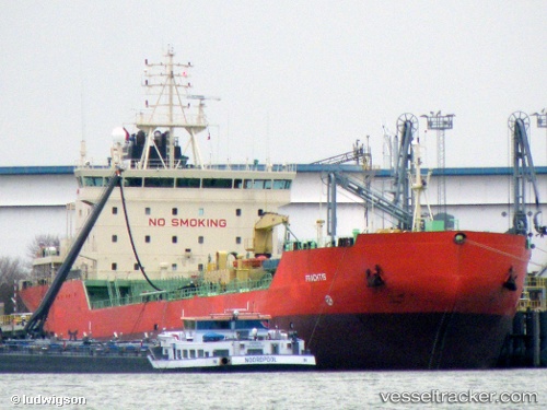
 Olivia
Current Status
Where is the vessel?
Olivia is currently in 50 nm NW of Sebang, based on AIS data received about 80d ago.
Latest AIS update:
Current position: 6.40538° N, 94.63348° E (50 nm NW of Sebang)
Average speed (last 7 days): Loading…
Average speed (last 30 days): Loading…
Vessel profile: Olivia is a Oil Products Tanker with dimensions 145m x 23m.
This page combines live AIS, route history, probable destination signals, nearby traffic, and port activity for practical vessel monitoring.
The current position of vessel Olivia is 6.40538 lat / 94.63348 lng. Updated: 2026-02-22 08:06:51 UTCNearest reference points:
- 48 nm NW of Sebang
- 28 nm NW of Sebang
- 80 nm W of Sebang
Currently sailing under the flag of Comoros ![]()
Olivia built in 1997 year
Deadweight:
15885 tDetails:
Live Vessel Olivia Analytics (details, animations, etc.)
Recent AIS points (UTC):
2026-02-22 08:06:51 UTC · 6.40538, 94.63348 · SOG 12.5 kn · COG 90°