 vesseltracker.com
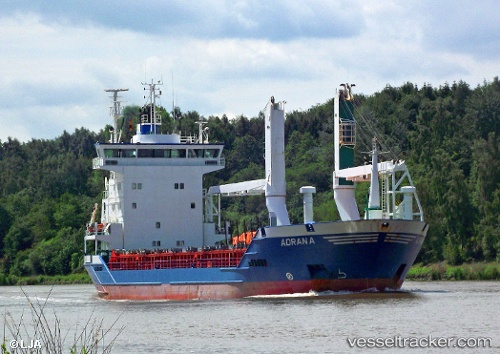
 MC LIBERTY
Current Status
Where is the vessel?
MC LIBERTY is currently in Near Tondo, based on AIS data received less than 1h ago.
Latest AIS update:
Current position: 14.61513° N, 120.91321° E (Near Tondo)
Average speed (last 7 days): Loading…
Average speed (last 30 days): Loading…
Vessel profile: MC LIBERTY is a General Cargo Ship with dimensions 17m x 100m.
This page combines live AIS, route history, probable destination signals, nearby traffic, and port activity for practical vessel monitoring.
The current position of vessel MC LIBERTY is 14.61513 lat / 120.91321 lng. Updated: 2026-04-28 11:41:30 UTCNearest reference points:
- Near Tondo
- Near Malabon
- Near Caloocan City
Currently sailing under the flag of Philippines ![]()
MC LIBERTY built in 1997 year
Deadweight:
6366 tDetails:
Live Vessel MC LIBERTY Analytics (details, animations, etc.)
Recent AIS points (UTC):
2026-04-28 07:44:19 UTC · 14.61521, 120.90809 · SOG 0 kn · COG 143°2026-04-28 09:59:20 UTC · 14.61529, 120.90757 · SOG 0.3 kn · COG 105°
2026-04-28 10:29:19 UTC · 14.61557, 120.90808 · SOG 0.6 kn · COG 165°
2026-04-28 11:41:30 UTC · 14.61513, 120.91321 · SOG 1.8 kn · COG 116°