 vesseltracker.com
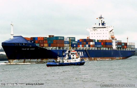
 TB TAIYUAN
Current Status
Where is the vessel?
TB TAIYUAN is currently in 173 nm NE of Gigmoto, Catanduanes, based on AIS data received less than 1h ago.
Latest AIS update:
Current position: 16.01500° N, 126.25667° E (173 nm NE of Gigmoto, Catanduanes)
Average speed (last 7 days): Loading…
Average speed (last 30 days): Loading…
Vessel profile: TB TAIYUAN is a Container Ship with dimensions m x m.
This page combines live AIS, route history, probable destination signals, nearby traffic, and port activity for practical vessel monitoring.
The current position of vessel TB TAIYUAN is 16.01500 lat / 126.25667 lng. Updated: 2026-05-02 19:32:10 UTCNearest reference points:
- 40 nm N of Gigmoto, Catanduanes
Currently sailing under the flag of Panama ![]()
Details:
Live Vessel TB TAIYUAN Analytics (details, animations, etc.)
Recent AIS points (UTC):
2026-05-02 16:29:06 UTC · 15.29500, 126.23667 · SOG 14 kn · COG -1°2026-05-02 18:11:11 UTC · 15.69833, 126.24167 · SOG 14 kn · COG -1°
2026-05-02 19:14:10 UTC · 15.94333, 126.25333 · SOG 13 kn · COG -1°
2026-05-02 19:32:10 UTC · 16.01500, 126.25667 · SOG 14 kn · COG -1°