 vesseltracker.com
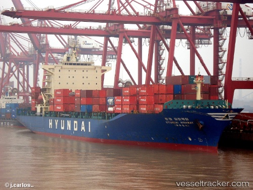
Highway
Current StatusWhere is the vessel?
Highway is currently in 24 nm W of Tungprong Pt, based on AIS data received less than 1h ago.
Latest AIS update:
Current position: 12.80363° N, 100.44011° E (24 nm W of Tungprong Pt)
Average speed (last 7 days): Loading…
Average speed (last 30 days): Loading…
Vessel profile: Highway is a Container Ship with dimensions 30m x 182m.
This page combines live AIS, route history, probable destination signals, nearby traffic, and port activity for practical vessel monitoring.
The current position of vessel Highway is 12.80363 lat / 100.44011 lng. Updated: 2026-05-14 14:19:20 UTCNearest reference points:
- Near NH Prosperity
- Near KO SICHANG
- Near SATTAHIP
Details:
Live Vessel Highway Analytics (details, animations, etc.)
Recent AIS points (UTC):
2026-05-14 10:41:21 UTC · 12.75698, 100.43176 · SOG 1.5 kn · COG 67°2026-05-14 12:19:00 UTC · 12.77371, 100.43670 · SOG 0.7 kn · COG 73°
2026-05-14 13:07:11 UTC · 12.78353, 100.43451 · SOG 0.8 kn · COG 83°
2026-05-14 14:19:20 UTC · 12.80363, 100.44011 · SOG 8.8 kn · COG 50°