 vesseltracker.com
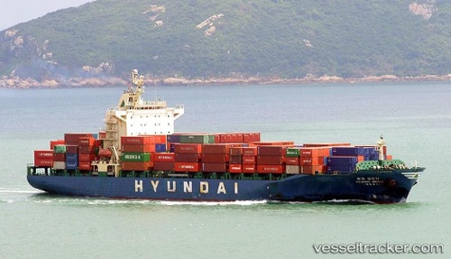
Bridge
Current StatusWhere is the vessel?
Bridge is currently in Near PASIR PANJANG Terminal, based on AIS data received less than 1h ago.
Latest AIS update:
Current position: 1.28362° N, 103.76057° E (Near PASIR PANJANG Terminal)
Average speed (last 7 days): Loading…
Average speed (last 30 days): Loading…
Vessel profile: Bridge is a Container Ship with dimensions 30m x 182m.
This page combines live AIS, route history, probable destination signals, nearby traffic, and port activity for practical vessel monitoring.
The current position of vessel Bridge is 1.28362 lat / 103.76057 lng. Updated: 2026-05-16 16:35:25 UTCNearest reference points:
- Near PASIR PANJANG Terminal
- Near Pasir Panjang Wharves
- Near BUKOM ISLAND
Details:
Live Vessel Bridge Analytics (details, animations, etc.)
Recent AIS points (UTC):
2026-05-16 13:38:09 UTC · 1.28367, 103.76053 · SOG 0 kn · COG 121°2026-05-16 13:50:11 UTC · 1.28372, 103.76049 · SOG 0 kn · COG 121°
2026-05-16 15:38:10 UTC · 1.28367, 103.76050 · SOG 0.1 kn · COG 121°
2026-05-16 16:35:25 UTC · 1.28362, 103.76057 · SOG 0.1 kn · COG 121°