 vesseltracker.com
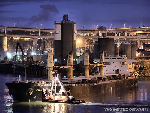
 Vinalines Green
Current Status
Where is the vessel?
Vinalines Green is currently in 331 nm SE of Masirah, based on AIS data received less than 1h ago.
Latest AIS update:
Current position: 18.13711° N, 64.14677° E (331 nm SE of Masirah)
Average speed (last 7 days): Loading…
Average speed (last 30 days): Loading…
Vessel profile: Vinalines Green is a Bulk Carrier with dimensions 186m x 31m.
This page combines live AIS, route history, probable destination signals, nearby traffic, and port activity for practical vessel monitoring.
The current position of vessel Vinalines Green is 18.13711 lat / 64.14677 lng. Updated: 2026-04-30 19:06:26 UTCNearest reference points:
- Open sea, approx. 402 nm off the nearest listed port
- Open sea, approx. 401 nm off the nearest listed port
- Open sea, approx. 403 nm off the nearest listed port
Currently sailing under the flag of Panama ![]()
Vinalines Green built in 1997 year
Deadweight:
47271 tDetails:
Live Vessel Vinalines Green Analytics (details, animations, etc.)
Recent AIS points (UTC):
2026-04-30 15:46:06 UTC · 18.82167, 64.28333 · SOG 12 kn · COG -1°2026-04-30 16:28:19 UTC · 18.67833, 64.25500 · SOG 12 kn · COG -1°
2026-04-30 17:48:35 UTC · 18.40462, 64.19996 · SOG 12.8 kn · COG 193°
2026-04-30 19:06:26 UTC · 18.13711, 64.14677 · SOG 12.7 kn · COG 193°