 vesseltracker.com
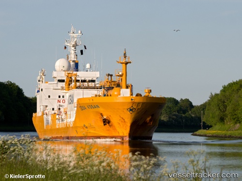
 GAS TESSA
Current Status
Where is the vessel?
GAS TESSA is currently in Near MELAKA, based on AIS data received less than 1h ago.
Latest AIS update:
Current position: 2.19174° N, 102.17193° E (Near MELAKA)
Average speed (last 7 days): Loading…
Average speed (last 30 days): Loading…
Vessel profile: GAS TESSA is a Lpg Tanker with dimensions m x m.
This page combines live AIS, route history, probable destination signals, nearby traffic, and port activity for practical vessel monitoring.
The current position of vessel GAS TESSA is 2.19174 lat / 102.17193 lng. Updated: 2026-05-15 22:16:18 UTCNearest reference points:
- Near SUNGAI UDANG
- Near Malacca
- Near MELAKA
Currently sailing under the flag of Malaysia ![]()
Details:
Live Vessel GAS TESSA Analytics (details, animations, etc.)
Recent AIS points (UTC):
2026-05-15 17:40:05 UTC · 2.19261, 102.16935 · SOG 0 kn · COG -1°2026-05-15 19:04:05 UTC · 2.19249, 102.16930 · SOG 0 kn · COG -1°
2026-05-15 19:34:07 UTC · 2.19260, 102.16941 · SOG 0 kn · COG 116°
2026-05-15 22:16:18 UTC · 2.19174, 102.17193 · SOG 0.5 kn · COG 282°