 vesseltracker.com
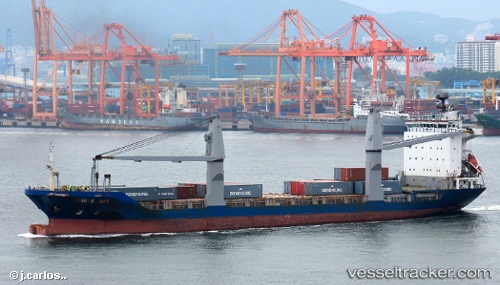
 OCEAN HUMILITY
Current Status
Where is the vessel?
OCEAN HUMILITY is currently in 14 nm S of GENERAL SANTOS, based on AIS data received about 7h ago.
Latest AIS update:
Current position: 5.86039° N, 125.10780° E (14 nm S of GENERAL SANTOS)
Average speed (last 7 days): Loading…
Average speed (last 30 days): Loading…
Vessel profile: OCEAN HUMILITY is a Container Ship with dimensions m x m.
This page combines live AIS, route history, probable destination signals, nearby traffic, and port activity for practical vessel monitoring.
The current position of vessel OCEAN HUMILITY is 5.86039 lat / 125.10780 lng. Updated: 2026-05-15 04:43:12 UTCNearest reference points:
- Near DICT / SVT
- 48 nm N of Melonguanne
Currently sailing under the flag of Philippines ![]()
Details:
Live Vessel OCEAN HUMILITY Analytics (details, animations, etc.)
Recent AIS points (UTC):
2026-05-15 04:43:12 UTC · 5.86039, 125.10780 · SOG 10.4 kn · COG -1°2026-05-15 04:43:12 UTC · 5.86039, 125.10780 · SOG 10.4 kn · COG -1°
2026-05-15 04:43:12 UTC · 5.86039, 125.10780 · SOG 10.4 kn · COG -1°
2026-05-15 04:43:12 UTC · 5.86039, 125.10780 · SOG 10.4 kn · COG -1°