 vesseltracker.com
 LUNE B
Current Status
Where is the vessel?
LUNE B is currently in Near Bari, based on AIS data received about 1h ago.
Latest AIS update:
Current position: 41.13925° N, 16.87101° E (Near Bari)
Average speed (last 7 days): Loading…
Average speed (last 30 days): Loading…
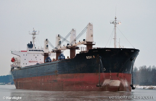
Vessel profile: LUNE B is a Bulk Carrier with dimensions 186m x 30m.
This page combines live AIS, route history, probable destination signals, nearby traffic, and port activity for practical vessel monitoring.
The current position of vessel LUNE B is 41.13925 lat / 16.87101 lng. Updated: 2026-04-21 07:57:11 UTCNearest reference points:
- Near Monopoli
- Near Marina di Ginosa
- Near Porto Di Brindisi
Currently sailing under the flag of Palau ![]()
LUNE B built in 1998 year
Deadweight:
45621 tDetails:
Live Vessel LUNE B Analytics (details, animations, etc.)
Recent AIS points (UTC):
2026-04-21 04:12:08 UTC · 41.13929, 16.87105 · SOG 0 kn · COG -1°2026-04-21 06:21:09 UTC · 41.13925, 16.87106 · SOG 0 kn · COG -1°
2026-04-21 07:54:12 UTC · 41.13926, 16.87103 · SOG 0 kn · COG -1°
2026-04-21 07:57:11 UTC · 41.13925, 16.87101 · SOG 0 kn · COG -1°