 vesseltracker.com
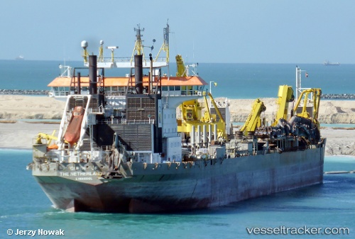
Queen Of Netherlands
Current StatusWhere is the vessel?
Queen Of Netherlands is currently in Near Colombo, based on AIS data received less than 1h ago.
Latest AIS update:
Current position: 6.95410° N, 79.85505° E (Near Colombo)
Average speed (last 7 days): Loading…
Average speed (last 30 days): Loading…
Vessel profile: Queen Of Netherlands is a Hopper Dredger with dimensions 32m x 230m.
This page combines live AIS, route history, probable destination signals, nearby traffic, and port activity for practical vessel monitoring.
The current position of vessel Queen Of Netherlands is 6.95410 lat / 79.85505 lng. Updated: 2026-05-15 14:20:04 UTCNearest reference points:
- 19 nm SW of Bataduwa
- 67 nm SW of Moratuwa
- 38 nm SW of Galle
Details:
Live Vessel Queen Of Netherlands Analytics (details, animations, etc.)
Recent AIS points (UTC):
2026-05-15 10:41:02 UTC · 6.95407, 79.85506 · SOG 0 kn · COG 96°2026-05-15 11:32:07 UTC · 6.95408, 79.85506 · SOG 0 kn · COG 96°
2026-05-15 13:41:07 UTC · 6.95409, 79.85506 · SOG 0 kn · COG 96°
2026-05-15 14:20:04 UTC · 6.95410, 79.85505 · SOG 0 kn · COG 96°