 vesseltracker.com
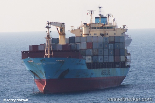
Tygra
Current StatusWhere is the vessel?
Tygra is currently in 64 nm E of Sukarnopura, based on AIS data received about 1h ago.
Latest AIS update:
Current position: 2.40851° S, 141.82419° E (64 nm E of Sukarnopura)
Average speed (last 7 days): Loading…
Average speed (last 30 days): Loading…
Vessel profile: Tygra is a Container Ship with dimensions 25m x 155m.
This page combines live AIS, route history, probable destination signals, nearby traffic, and port activity for practical vessel monitoring.
The current position of vessel Tygra is -2.40851 lat / 141.82419 lng. Updated: 2026-05-15 04:07:52 UTCNearest reference points:
- Near Sukarnopura
Details:
Live Vessel Tygra Analytics (details, animations, etc.)
Recent AIS points (UTC):
2026-05-14 22:17:48 UTC · -3.09766, 143.23759 · SOG 16 kn · COG 294°2026-05-14 23:28:37 UTC · -2.95948, 142.95085 · SOG 16.2 kn · COG 296°
2026-05-15 03:23:08 UTC · -2.50201, 142.00641 · SOG 16.4 kn · COG 296°
2026-05-15 04:07:52 UTC · -2.40851, 141.82419 · SOG 16.5 kn · COG 298°