 vesseltracker.com
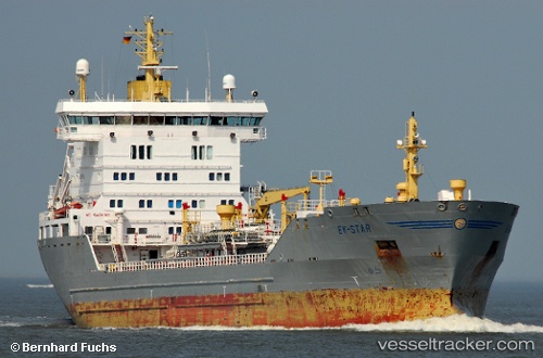
 VELARO
Current Status
Where is the vessel?
VELARO is currently in Near Dubai, based on AIS data received less than 1h ago.
Latest AIS update:
Current position: 25.24995° N, 55.26675° E (Near Dubai)
Average speed (last 7 days): Loading…
Average speed (last 30 days): Loading…
Vessel profile: VELARO is a Oil Products Tanker with dimensions m x m.
This page combines live AIS, route history, probable destination signals, nearby traffic, and port activity for practical vessel monitoring.
The current position of vessel VELARO is 25.24995 lat / 55.26675 lng. Updated: 2026-04-28 09:54:27 UTCNearest reference points:
- Near Dubai
- Near Mina Rashid Port
- Near DUBAI
Currently sailing under the flag of Comoros ![]()
Details:
Live Vessel VELARO Analytics (details, animations, etc.)
Recent AIS points (UTC):
2026-04-28 06:14:18 UTC · 25.24579, 55.26488 · SOG 0 kn · COG 123°2026-04-28 07:21:28 UTC · 25.24580, 55.26488 · SOG 0 kn · COG 123°
2026-04-28 08:12:59 UTC · 25.24582, 55.26489 · SOG 0 kn · COG 123°
2026-04-28 09:54:27 UTC · 25.24995, 55.26675 · SOG 0 kn · COG 310°