 vesseltracker.com
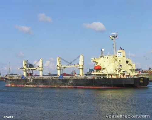
 TONG DA
Current Status
Where is the vessel?
TONG DA is currently in 74 nm SE of Xijiang, based on AIS data received about 2h ago.
Latest AIS update:
Current position: 20.72476° N, 116.05383° E (74 nm SE of Xijiang)
Average speed (last 7 days): Loading…
Average speed (last 30 days): Loading…
Vessel profile: TONG DA is a Bulk Carrier with dimensions 182m x 31m.
This page combines live AIS, route history, probable destination signals, nearby traffic, and port activity for practical vessel monitoring.
The current position of vessel TONG DA is 20.72476 lat / 116.05383 lng. Updated: 2026-05-14 05:18:29 UTCNearest reference points:
- 148 nm SE of Xijiang
- 49 nm S of SHANWEI
- 53 nm S of Jiazi
Currently sailing under the flag of Panama ![]()
TONG DA built in 1998 year
Deadweight:
42717 tDetails:
Live Vessel TONG DA Analytics (details, animations, etc.)
Recent AIS points (UTC):
2026-05-14 01:29:19 UTC · 21.31975, 116.43042 · SOG 11.2 kn · COG 219°2026-05-14 03:23:10 UTC · 21.02334, 116.24632 · SOG 10 kn · COG 219°
2026-05-14 04:43:59 UTC · 20.81138, 116.11102 · SOG 10.8 kn · COG 212°
2026-05-14 05:18:29 UTC · 20.72476, 116.05383 · SOG 10.6 kn · COG 214°