 vesseltracker.com
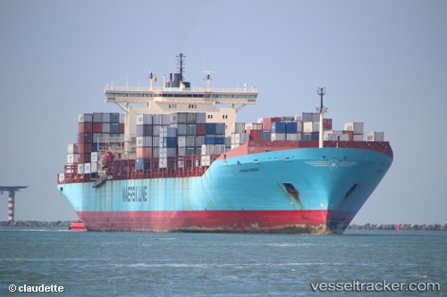
 MSC ELLEN
Current Status
Where is the vessel?
MSC ELLEN is currently in 22 nm W of Colombo, based on AIS data received less than 1h ago.
Latest AIS update:
Current position: 6.91418° N, 79.48812° E (22 nm W of Colombo)
Average speed (last 7 days): Loading…
Average speed (last 30 days): Loading…
Vessel profile: MSC ELLEN is a Container Ship with dimensions 347m x 347m.
This page combines live AIS, route history, probable destination signals, nearby traffic, and port activity for practical vessel monitoring.
The current position of vessel MSC ELLEN is 6.91418 lat / 79.48812 lng. Updated: 2026-05-02 19:06:07 UTCNearest reference points:
- 67 nm SW of Moratuwa
- 19 nm SW of Bataduwa
- 82 nm W of Moratuwa
Currently sailing under the flag of Liberia ![]()
MSC ELLEN built in 1999 year
Deadweight:
110387 tDetails:
Live Vessel MSC ELLEN Analytics (details, animations, etc.)
Recent AIS points (UTC):
2026-05-02 15:50:24 UTC · 6.89227, 79.47765 · SOG 7.2 kn · COG 30°2026-05-02 16:09:36 UTC · 6.92484, 79.49761 · SOG 7.1 kn · COG 30°
2026-05-02 18:23:46 UTC · 6.97602, 79.52145 · SOG 5.9 kn · COG 211°
2026-05-02 19:06:07 UTC · 6.91418, 79.48812 · SOG 6.2 kn · COG 210°