 vesseltracker.com
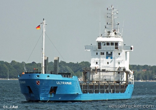
 GOCEK
GOCEK
Current Status
Where is the vessel?
GOCEK is currently in 15 nm N of RUMELI FENERI, based on AIS data received less than 1h ago.
Latest AIS update:
Current position: 41.46278° N, 29.23967° E (15 nm N of RUMELI FENERI)
Average speed (last 7 days): Loading…
Average speed (last 30 days): Loading…
Vessel profile: GOCEK is a General Cargo with dimensions m x m.
This page combines live AIS, route history, probable destination signals, nearby traffic, and port activity for practical vessel monitoring.
The current position of vessel GOCEK is 41.46278 lat / 29.23967 lng. Updated: 2026-05-14 00:16:19 UTCNearest reference points:
- 19 nm NE of RUMELI FENERI
- Near RUMELI FENERI
- Near Istinye/Istambul
Currently sailing under the flag of Saint Kitts and Nevis ![]()
Details:
Live Vessel GOCEK Analytics (details, animations, etc.)
Recent AIS points (UTC):
2026-05-13 20:16:48 UTC · 40.94282, 29.02839 · SOG 9.8 kn · COG 311°2026-05-13 21:34:19 UTC · 41.08073, 29.05772 · SOG 7.8 kn · COG 30°
2026-05-13 22:43:57 UTC · 41.21472, 29.12702 · SOG 9.8 kn · COG 39°
2026-05-14 00:16:19 UTC · 41.46278, 29.23967 · SOG 10.5 kn · COG 10°