 vesseltracker.com
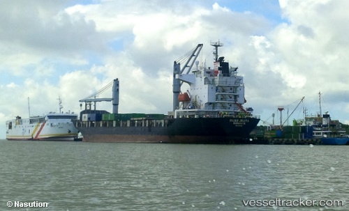
Hijau Jelita
Current StatusWhere is the vessel?
Hijau Jelita is currently in Near LAMONGAN, based on AIS data received about 1h ago.
Latest AIS update:
Current position: 6.84442° S, 112.43951° E (Near LAMONGAN)
Average speed (last 7 days): Loading…
Average speed (last 30 days): Loading…
Vessel profile: Hijau Jelita is a Container Ship with dimensions 23m x 136m.
This page combines live AIS, route history, probable destination signals, nearby traffic, and port activity for practical vessel monitoring.
The current position of vessel Hijau Jelita is -6.84442 lat / 112.43951 lng. Updated: 2026-03-31 07:42:27 UTCNearest reference points:
- Near LAMONGAN
- Near Bangkalan
- 11 nm W of Madura Terminal
Details:
Live Vessel Hijau Jelita Analytics (details, animations, etc.)
Recent AIS points (UTC):
2026-03-31 02:02:13 UTC · -6.84346, 112.44136 · SOG 0 kn · COG 259°2026-03-31 03:33:04 UTC · -6.84470, 112.43984 · SOG 0 kn · COG 32°
2026-03-31 05:53:26 UTC · -6.84414, 112.43939 · SOG 0 kn · COG 65°
2026-03-31 07:42:27 UTC · -6.84442, 112.43951 · SOG 0 kn · COG 57°