 vesseltracker.com
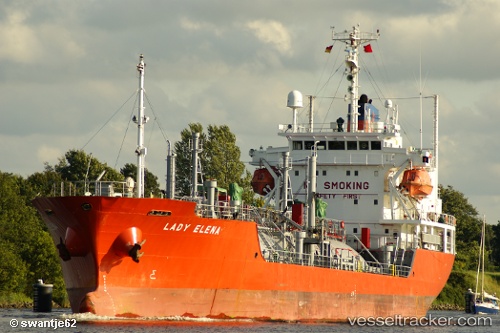
 AMIR GAS
Current Status
Where is the vessel?
AMIR GAS is currently in Near JAIGAD, based on AIS data received about 2h ago.
Latest AIS update:
Current position: 17.29426° N, 73.10454° E (Near JAIGAD)
Average speed (last 7 days): Loading…
Average speed (last 30 days): Loading…
Vessel profile: AMIR GAS is a Lpg Tanker with dimensions m x m.
This page combines live AIS, route history, probable destination signals, nearby traffic, and port activity for practical vessel monitoring.
The current position of vessel AMIR GAS is 17.29426 lat / 73.10454 lng. Updated: 2026-05-15 05:18:56 UTCNearest reference points:
- Near JAIGAD
- 49 nm W of Pernem
- Near Mumbai
Currently sailing under the flag of Saint Kitts and Nevis ![]()
Details:
Live Vessel AMIR GAS Analytics (details, animations, etc.)
Recent AIS points (UTC):
2026-05-15 00:54:56 UTC · 17.29441, 73.10453 · SOG 0.2 kn · COG 291°2026-05-15 03:42:56 UTC · 17.29457, 73.10468 · SOG 0.2 kn · COG 302°
2026-05-15 04:39:56 UTC · 17.29439, 73.10464 · SOG 0.3 kn · COG 314°
2026-05-15 05:18:56 UTC · 17.29426, 73.10454 · SOG 0.6 kn · COG 319°