 vesseltracker.com
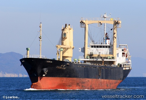
 LEO
LEO
Current Status
Where is the vessel?
LEO is currently in Near Djibouti, based on AIS data received less than 1h ago.
Latest AIS update:
Current position: 11.61194° N, 43.13512° E (Near Djibouti)
Average speed (last 7 days): Loading…
Average speed (last 30 days): Loading…
Vessel profile: LEO is a General Cargo with dimensions m x m.
This page combines live AIS, route history, probable destination signals, nearby traffic, and port activity for practical vessel monitoring.
The current position of vessel LEO is 11.61194 lat / 43.13512 lng. Updated: 2026-05-14 07:49:30 UTCNearest reference points:
- Near Djibouti
Currently sailing under the flag of Saint Kitts and Nevis ![]()
Details:
Live Vessel LEO Analytics (details, animations, etc.)
Recent AIS points (UTC):
2026-05-14 03:59:58 UTC · 11.61193, 43.13507 · SOG 0 kn · COG -1°2026-05-14 05:01:15 UTC · 11.61195, 43.13513 · SOG 0 kn · COG -1°
2026-05-14 06:07:31 UTC · 11.61196, 43.13514 · SOG 0 kn · COG -1°
2026-05-14 07:49:30 UTC · 11.61194, 43.13512 · SOG 0 kn · COG -1°