 vesseltracker.com
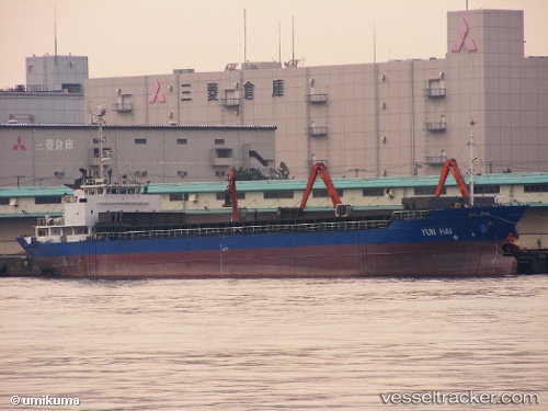
 GAIDAMAK
Current Status
Where is the vessel?
GAIDAMAK is currently in Near PODYAPOLSKIY, based on AIS data received about 1h ago.
Latest AIS update:
Current position: 42.91667° N, 132.18668° E (Near PODYAPOLSKIY)
Average speed (last 7 days): Loading…
Average speed (last 30 days): Loading…
Vessel profile: GAIDAMAK is a Cargo with dimensions m x m.
This page combines live AIS, route history, probable destination signals, nearby traffic, and port activity for practical vessel monitoring.
The current position of vessel GAIDAMAK is 42.91667 lat / 132.18668 lng. Updated: 2026-05-14 10:36:16 UTCNearest reference points:
- Near PODYAPOLSKIY
- Near Dalzavod
- Near BOLSHOY KAMEN
Currently sailing under the flag of Togo ![]()
Details:
Live Vessel GAIDAMAK Analytics (details, animations, etc.)
Recent AIS points (UTC):
2026-05-14 07:33:18 UTC · 43.08500, 131.81833 · SOG 0 kn · COG -1°2026-05-14 07:51:16 UTC · 43.08500, 131.81833 · SOG 0 kn · COG -1°
2026-05-14 10:27:16 UTC · 42.93500, 132.16499 · SOG 10 kn · COG -1°
2026-05-14 10:36:16 UTC · 42.91667, 132.18668 · SOG 10 kn · COG -1°