 vesseltracker.com
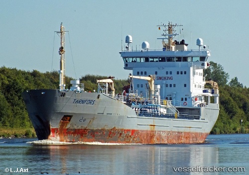
 MURMANSK
Current Status
Where is the vessel?
MURMANSK is currently in 82 nm N of Ekonomiya, based on AIS data received less than 1h ago.
Latest AIS update:
Current position: 66.05167° N, 40.14167° E (82 nm N of Ekonomiya)
Average speed (last 7 days): Loading…
Average speed (last 30 days): Loading…
Vessel profile: MURMANSK is a Oil/Chemical Tanker with dimensions m x m.
This page combines live AIS, route history, probable destination signals, nearby traffic, and port activity for practical vessel monitoring.
The current position of vessel MURMANSK is 66.05167 lat / 40.14167 lng. Updated: 2026-05-14 17:53:15 UTCNearest reference points:
- 32 nm N of Severodvinsk
- 19 nm NW of Ekonomiya
- Near Ekonomiya
Currently sailing under the flag of Russia ![]()
Details:
Live Vessel MURMANSK Analytics (details, animations, etc.)
Recent AIS points (UTC):
2026-05-14 13:10:36 UTC · 66.57123, 40.96453 · SOG 10.2 kn · COG 208°2026-05-14 15:32:11 UTC · 66.30167, 40.54500 · SOG 6 kn · COG -1°
2026-05-14 15:32:11 UTC · 66.30167, 40.54500 · SOG 6 kn · COG -1°
2026-05-14 17:53:15 UTC · 66.05167, 40.14167 · SOG 9 kn · COG -1°