 vesseltracker.com
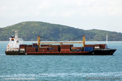
 Tanto Tangguh
Current Status
Where is the vessel?
Tanto Tangguh is currently in 22 nm E of Labuan, based on AIS data received about 4h ago.
Latest AIS update:
Current position: 4.35386° S, 123.32015° E (22 nm E of Labuan)
Average speed (last 7 days): Loading…
Average speed (last 30 days): Loading…
Vessel profile: Tanto Tangguh is a Container Ship with dimensions m x m.
This page combines live AIS, route history, probable destination signals, nearby traffic, and port activity for practical vessel monitoring.
The current position of vessel Tanto Tangguh is -4.35386 lat / 123.32015 lng. Updated: 2026-05-01 02:33:58 UTCNearest reference points:
- Near Labuan
- 11 nm NW of KENDARI
- Near BAUBAU
Currently sailing under the flag of Indonesia ![]()
Tanto Tangguh built in 1998 year
Deadweight:
12288 tDetails:
Live Vessel Tanto Tangguh Analytics (details, animations, etc.)
Recent AIS points (UTC):
2026-04-30 23:37:06 UTC · -4.91264, 123.30926 · SOG 11.1 kn · COG 12°2026-05-01 02:33:58 UTC · -4.35386, 123.32015 · SOG 11.2 kn · COG 17°
2026-05-01 02:33:58 UTC · -4.35386, 123.32015 · SOG 11.2 kn · COG 17°
2026-05-01 02:33:58 UTC · -4.35386, 123.32015 · SOG 11.2 kn · COG 17°