 vesseltracker.com
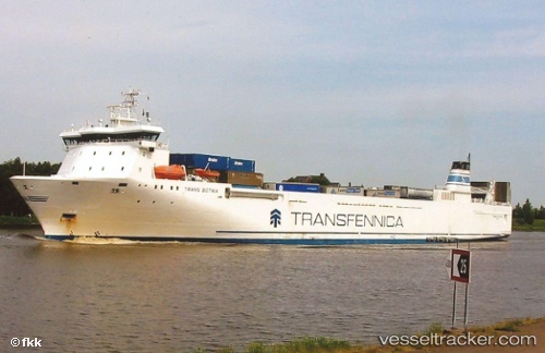
 LINK NEPTUNE
Current Status
Where is the vessel?
LINK NEPTUNE is currently in Near Raudsand, based on AIS data received about 1h ago.
Latest AIS update:
Current position: 62.85777° N, 8.13998° E (Near Raudsand)
Average speed (last 7 days): Loading…
Average speed (last 30 days): Loading…
Vessel profile: LINK NEPTUNE is a Ro-Ro Cargo with dimensions m x m.
This page combines live AIS, route history, probable destination signals, nearby traffic, and port activity for practical vessel monitoring.
The current position of vessel LINK NEPTUNE is 62.85777 lat / 8.13998 lng. Updated: 2026-05-15 04:41:00 UTCNearest reference points:
- Near Halsa
- Near Kristiansund
- Near Smøla
Currently sailing under the flag of Norway ![]()
Details:
Live Vessel LINK NEPTUNE Analytics (details, animations, etc.)
Recent AIS points (UTC):
2026-05-14 23:59:16 UTC · 63.01611, 7.80788 · SOG 0.1 kn · COG 60°2026-05-15 01:14:18 UTC · 63.01685, 7.80687 · SOG 0.1 kn · COG 110°
2026-05-15 04:02:11 UTC · 62.97587, 7.94461 · SOG 16.9 kn · COG 76°
2026-05-15 04:41:00 UTC · 62.85777, 8.13998 · SOG 16.2 kn · COG 168°