 vesseltracker.com
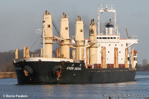
 Selamet
Current Status
Where is the vessel?
Selamet is currently in 25 nm W of LATAKIA, based on AIS data received less than 1h ago.
Latest AIS update:
Current position: 35.51317° N, 35.24442° E (25 nm W of LATAKIA)
Average speed (last 7 days): Loading…
Average speed (last 30 days): Loading…
Vessel profile: Selamet is a Bulk Carrier with dimensions 154m x 26m.
This page combines live AIS, route history, probable destination signals, nearby traffic, and port activity for practical vessel monitoring.
The current position of vessel Selamet is 35.51317 lat / 35.24442 lng. Updated: 2026-05-14 19:48:34 UTCNearest reference points:
- Near Al Latakia
- Near Al Ladhiqiyah
- Near Tartous
Currently sailing under the flag of Panama ![]()
Selamet built in 1998 year
Deadweight:
23468 tDetails:
Live Vessel Selamet Analytics (details, animations, etc.)
Recent AIS points (UTC):
2026-05-14 15:43:05 UTC · 35.82694, 34.55529 · SOG 11.5 kn · COG 91°2026-05-14 18:23:04 UTC · 35.65407, 35.03805 · SOG 9.8 kn · COG 129°
2026-05-14 19:40:55 UTC · 35.52162, 35.22066 · SOG 9.9 kn · COG 114°
2026-05-14 19:48:34 UTC · 35.51317, 35.24442 · SOG 9.9 kn · COG 113°