 vesseltracker.com
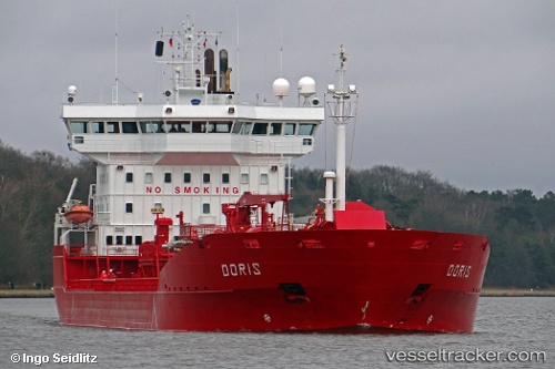
 CAPTAIN LEANDROS
Current Status
Where is the vessel?
CAPTAIN LEANDROS is currently in Near Soussaki, based on AIS data received about 1h ago.
Latest AIS update:
Current position: 37.90125° N, 23.05194° E (Near Soussaki)
Average speed (last 7 days): Loading…
Average speed (last 30 days): Loading…
Vessel profile: CAPTAIN LEANDROS is a Oil/Chemical Tanker with dimensions m x m.
This page combines live AIS, route history, probable destination signals, nearby traffic, and port activity for practical vessel monitoring.
The current position of vessel CAPTAIN LEANDROS is 37.90125 lat / 23.05194 lng. Updated: 2026-04-29 23:07:19 UTCNearest reference points:
- Near AGIOI THEODORI
- Near Náfplion
- Near PERDIKA
Currently sailing under the flag of Bahamas ![]()
Details:
Live Vessel CAPTAIN LEANDROS Analytics (details, animations, etc.)
Recent AIS points (UTC):
2026-04-29 19:26:21 UTC · 37.90310, 23.05095 · SOG 0 kn · COG 129°2026-04-29 19:50:13 UTC · 37.90308, 23.05102 · SOG 0 kn · COG 134°
2026-04-29 22:20:14 UTC · 37.90242, 23.05073 · SOG 0.1 kn · COG 94°
2026-04-29 23:07:19 UTC · 37.90125, 23.05194 · SOG 0 kn · COG 3°