 vesseltracker.com
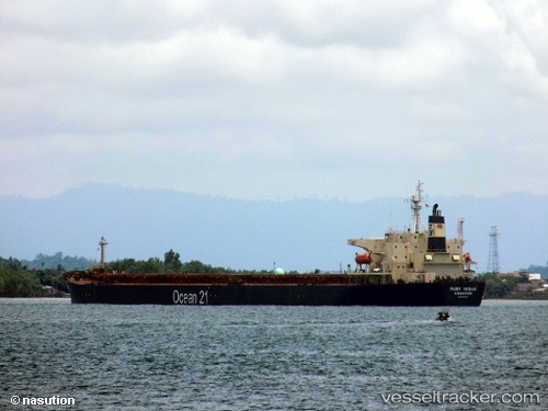
 RUBY INDAH
Current Status
Where is the vessel?
RUBY INDAH is currently in 14 nm SE of Bunati, based on AIS data received less than 1h ago.
Latest AIS update:
Current position: 3.90253° S, 115.79467° E (14 nm SE of Bunati)
Average speed (last 7 days): Loading…
Average speed (last 30 days): Loading…
Vessel profile: RUBY INDAH is a Bulk Carrier with dimensions m x m.
This page combines live AIS, route history, probable destination signals, nearby traffic, and port activity for practical vessel monitoring.
The current position of vessel RUBY INDAH is -3.90253 lat / 115.79467 lng. Updated: 2026-05-17 10:05:57 UTCNearest reference points:
- 12 nm SE of Bunati
- Near Bunati
- Near TANJUNG PEMANCINGAN
Currently sailing under the flag of Indonesia ![]()
Details:
Live Vessel RUBY INDAH Analytics (details, animations, etc.)
Recent AIS points (UTC):
2026-05-17 07:38:57 UTC · -3.90102, 115.79477 · SOG 0.1 kn · COG 249°2026-05-17 08:23:57 UTC · -3.90234, 115.79471 · SOG 0 kn · COG 288°
2026-05-17 09:29:57 UTC · -3.90242, 115.79464 · SOG 0 kn · COG 288°
2026-05-17 10:05:57 UTC · -3.90253, 115.79467 · SOG 0 kn · COG 288°