 vesseltracker.com
 TEOS
TEOS
Current Status
Where is the vessel?
TEOS is currently in Near Mindelo, based on AIS data received about 7d ago.
Latest AIS update:
Current position: 16.88923° N, 24.99834° W (Near Mindelo)
Average speed (last 7 days): Loading…
Average speed (last 30 days): Loading…
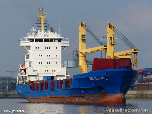
Vessel profile: TEOS is a General Cargo with dimensions m x m.
This page combines live AIS, route history, probable destination signals, nearby traffic, and port activity for practical vessel monitoring.
The current position of vessel TEOS is 16.88923 lat / -24.99834 lng. Updated: 2026-04-17 22:52:21 UTCNearest reference points:
- 39 nm W of Ilha do Sal
- 100 nm N of Porto Grande
- 102 nm N of Porto Grande
Currently sailing under the flag of Barbados ![]()
Details:
Live Vessel TEOS Analytics (details, animations, etc.)
Recent AIS points (UTC):
2026-04-17 21:37:11 UTC · 16.88925, -24.99835 · SOG 0 kn · COG 199°2026-04-17 22:52:21 UTC · 16.88923, -24.99834 · SOG 0.1 kn · COG -1°
2026-04-17 22:52:21 UTC · 16.88923, -24.99834 · SOG 0.1 kn · COG -1°
2026-04-17 22:52:21 UTC · 16.88923, -24.99834 · SOG 0.1 kn · COG -1°