 vesseltracker.com
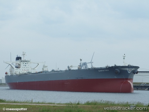
Liza Destiny
Current StatusWhere is the vessel?
Liza Destiny is currently in 95 nm NE of Enmore, based on AIS data received about 1h ago.
Latest AIS update:
Current position: 8.01103° N, 56.99208° W (95 nm NE of Enmore)
Average speed (last 7 days): Loading…
Average speed (last 30 days): Loading…
Vessel profile: Liza Destiny is a Crude Oil Tanker with dimensions 58m x 334m.
This page combines live AIS, route history, probable destination signals, nearby traffic, and port activity for practical vessel monitoring.
The current position of vessel Liza Destiny is 8.01103 lat / -56.99208 lng. Updated: 2026-05-14 11:49:53 UTCNearest reference points:
- 57 nm NE of Adventure
- 38 nm NW of Jarikaba
- Near Paramaribo Zorg en Hoop Airport
Details:
Live Vessel Liza Destiny Analytics (details, animations, etc.)
Recent AIS points (UTC):
2026-05-14 07:38:10 UTC · 8.01099, -56.99205 · SOG 0.1 kn · COG 89°2026-05-14 09:36:33 UTC · 8.01101, -56.99207 · SOG 0.1 kn · COG 88°
2026-05-14 11:09:23 UTC · 8.01103, -56.99208 · SOG 0.1 kn · COG 88°
2026-05-14 11:49:53 UTC · 8.01103, -56.99208 · SOG 0.2 kn · COG 88°