 vesseltracker.com
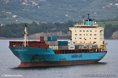
 HR TURAG
Current Status
Where is the vessel?
HR TURAG is currently in 19 nm S of Pulau Jarak, based on AIS data received less than 1h ago.
Latest AIS update:
Current position: 3.65885° N, 100.11855° E (19 nm S of Pulau Jarak)
Average speed (last 7 days): Loading…
Average speed (last 30 days): Loading…
Vessel profile: HR TURAG is a Container Ship with dimensions m x m.
This page combines live AIS, route history, probable destination signals, nearby traffic, and port activity for practical vessel monitoring.
The current position of vessel HR TURAG is 3.65885 lat / 100.11855 lng. Updated: 2026-05-17 18:18:38 UTCNearest reference points:
- 11 nm W of Pangkur
- Near PANGKOR
- Near Simpang Lima
Currently sailing under the flag of Bangladesh ![]()
Details:
Live Vessel HR TURAG Analytics (details, animations, etc.)
Recent AIS points (UTC):
2026-05-17 14:16:37 UTC · 4.28500, 99.66500 · SOG 10 kn · COG -1°2026-05-17 15:40:49 UTC · 4.08667, 99.81333 · SOG 11 kn · COG -1°
2026-05-17 16:49:59 UTC · 3.90500, 99.94333 · SOG 12 kn · COG -1°
2026-05-17 18:18:38 UTC · 3.65885, 100.11855 · SOG 12.2 kn · COG 138°